TRAINING
TYC GIS Training Group was created to respond to the training and consulting needs of companies and individuals in specialized programs of GIS, Remote Sensing, Drones. Our years of experience allow us to offer quality training, adapted to the needs of the student and the reality of the sector..
Our training is organized in two main blocks:
Training in GIS topics both at desktop level as well as programming and development of WEB GIS apps.
We have training for desktop GIS in ArcGIS, QGIS and GvSIG with courses of various levels and specialties (Geology, Renewable Energy, Environment, etc). We also have courses for hydraulic modeling with HEC Ras and Iber.
We also provide training in programming and development of WEB GIS apps with Python, .NET, R, Javascript, ArcGIS Server and OpenGeo Suite.
Training in Remote Sensing, Drones and LIDAR with different softwares.
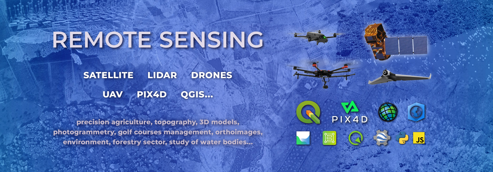
We offer training in satellite and drone remote sensing, at various levels and specialties with programs such as QGIS and IlWIS. In the same way, we train in the use and applications of LIDAR data with ArcGIS and QGIS for the application in different fields such as forestry, hydrology, etc.
We also train in the application of drones in topography and orthoimagery (photogrammetry with Pix4D and Metashape), precision agriculture, and civil works.
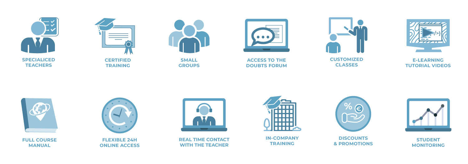
We offer training in different modalities:
All our trainings are fully or partially subsidized through the State Foundation for Employment Training. We manage your credit at no additional cost!
GIS COURSES
Training in GIS topics both at desktop level as well as programming and development of WEB GIS apps. We have training for desktop GIS in ArcGIS, QGIS and GvSIG with courses of various levels and specialties (Geology, Renewable Energy, Environment, etc). We also have courses for hydraulic modeling with HEC Ras and Iber.
We also provide training in programming and development of WEB GIS apps with Python, .NET, R, Javascript, ArcGIS Server and OpenGeo Suite.
We have a large number of courses divided into the following branches:
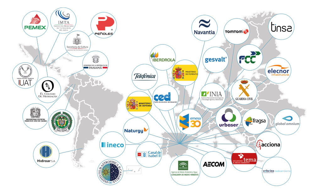
OUR CUSTOMERS (companies)
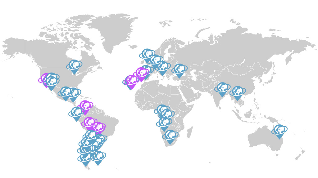
OUR CUSTOMERS (private individuals)
BLOG: LAST ENTRIES
CONTACT US IN:

