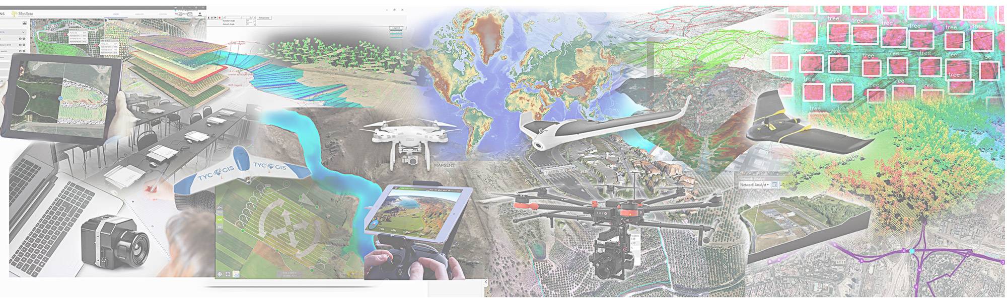
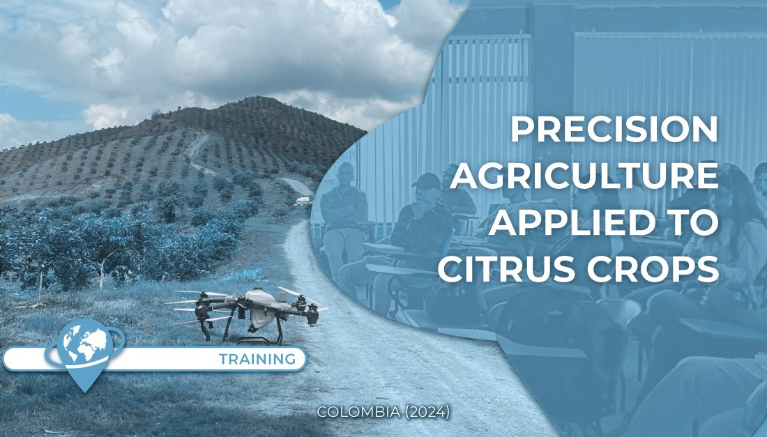
TYC GIS

OUR TOOLS

icon-teledeteccion

Remote Sensing

Remote sensing involves several data-gathering techniques through sensors such as satellites, drones, etc. These techniques allow us to develop massive territorial analysis with little effort. Both crop surveillance and topography generation are just some examples of how these tools can help our projects and customers.

icon-gis

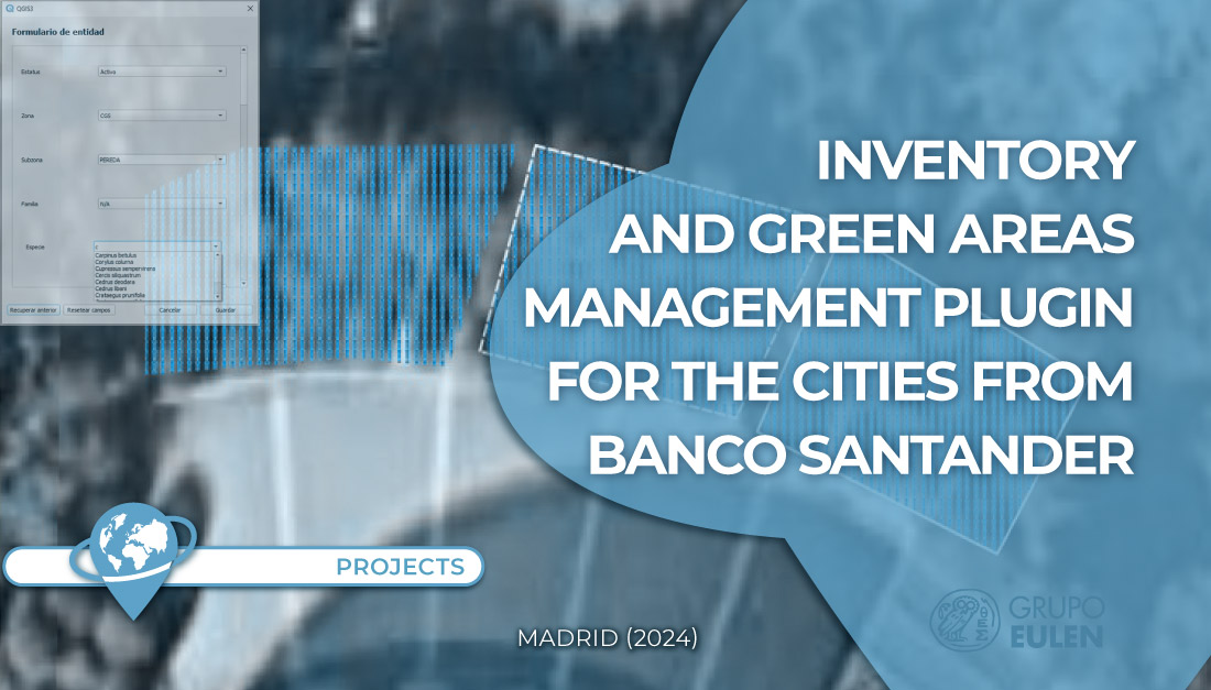
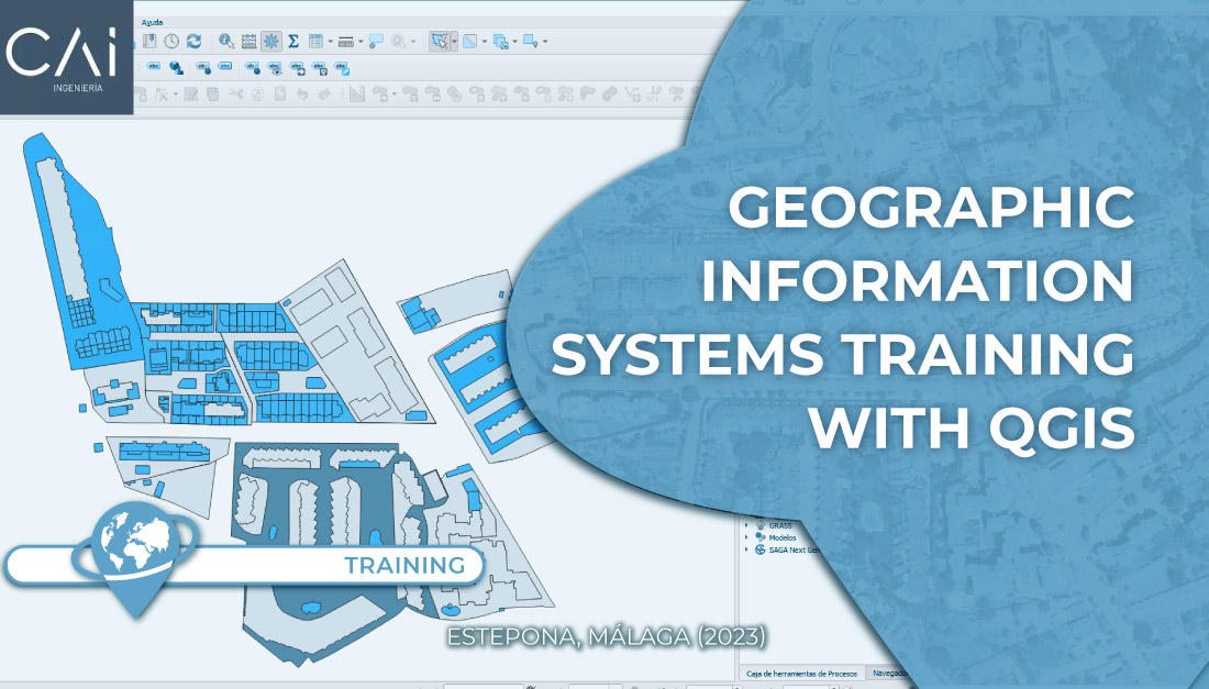
Geographic Information Systems (GIS)

GIS are a very powerful spatial analysis tool that allows us to offer our services and products, with a high standard and added value, to our customers. We work with both licensed technologies, such as ESRI (ArcGIS) and Bentley (Microstation), and free-licensed technologies, like QGIS and GvSIG, on desktop, programming and web development levels.

icon-programacion

Programming and Development

Programming allows us to provide the access and use of GIS and Remote Sensing tools. Our services include tool programming for desktop GIS, like ArcGIS ADDINS or QGIS Plugins, native App development, cooperative WEB GIS development, among others. We master the most used programming languages (JS, Python, .NET, HTML, Java) and Database languages (PostGRE/PostGIS, SQL Server, MongoDB, etc.)

icon-satelite

Satellite

Satellites are a massive source of data that allows us to see and analyze what is happening anywhere in the globe. Several satellites provide us with visible spectrum data, multispectral data, hyperspectral data and Radar, each with a long list of applications of great interest in engineering, agriculture, land management and the environment sectors. We have the best professionals at our disposal, with more than 15 years of experience in the sector, which enables us to offer the best product according to the customer’s needs.

icon-drones

Drones and Sensors

Drones are becoming the perfect allies for massive data capture on high resolution. We are equipment manufacturers and top professional brands distributors. We offer consulting services and topography studies, remote sensing and drone mapping. Equipment sales, training and data processing programs are also part of our services.

icon-mobile

Mobile Mapping

Mobile mapping technologies can offer a high quality service where drones can’t access, especially in urban environments. These systems are usually mounted on land vehicles, and capture data through cameras & scanners generating a 3D cloud of their path. We have developed inventory projects on the main streets of Madrid, with excellent results.

icon-ai

AI - Machine and Deep Learning

Artificial Intelligence (Deep or Machine Learning) is a powerful tool to perform analysis where GIS and remote sensing technologies cannot reach. We have analysis algorithms that use trained neural networks to perform automatic inventories, object and element classification and trend recognition. These techniques are here to stay, and allow us to offer high quality and fast services to our customers.

icon-iot

IOT - Sensing

Monitoring services based on drones or satellites are greatly enhanced by the presence of in-site sensors that send to us real time data of what is happening. Electronic engineers on our team enable us to connect field sensors with our apps through IOT communication systems. We can also offer connection services in case our customers already have the sensors.

icon-lidar

Lidar

Sometimes, digital photogrammetry does not offer the needed resolution. Here is where LIDAR becomes a powerful tool with millimetric accuracy, which can also penetrate the vegetation. This provides interesting appliances on biomass calculations on energetic, agricultural and forestry industries. LIDAR sensors can be installed on aircrafts, drones and other vehicles, depending on the type of the study and data.

icon-gis

Sistemas de Información Geográfica (SIG o GIS)

Los Sistemas de Información Geográfica o Geographic Information System, son una potente herramienta para el análisis espacial que nos permite ofrecer servicios y productos de alto valor añadido a nuestros clientes. Trabajamos con tecnologías privativas, como ESRI® (ArcGIS) o Bentley (Microstation). También con tecnologías libres cómo QGIS y GvSIG a niveles de escritorio, como de programación y desarrollo web.

icon-ai

IA - Machine Learning y Deep Learning

La inteligencia artificial (Deep o Machine Learning) es una potente herramienta para realizar análisis donde los GIS y la Teledetección no llegan. En TYC GIS ya disponemos de algoritmos de análisis que utilizan redes neuronales entrenadas para realizar inventarios automáticos, procesos de clasificación de objetos o elementos y reconocimiento de patrones. Estas técnicas han llegado para quedarse y nos permiten ofrecer servicios de gran calidad y rapidez a nuestros clientes.

icon-teledeteccion

Teledetección

La teledetección engloba una serie de técnicas de percepción remota a través de sensores como los satélites, los drones, etc. Estas técnicas nos permiten realizar análisis masivos de un territorio con poco esfuerzo. El seguimiento de cultivos, así como la generación de topografía con drones o satélites, son solo algunos ejemplos de lo que estas herramientas nos permiten ofrecer a nuestros clientes.

icon-programacion

Programación y Desarrollo

La programación nos permite facilitar el acceso y el uso de herramientas como los SIG y la teledetección. Nuestros servicios van desde la programación de herramientas para GIS de escritorio, como los ADDINS de ArcGIS® o los Plugins de QGIS; hasta el desarrollo de aplicaciones nativas o WEB GIS corporativas. Dominamos los lenguajes de programación más utilizados (JS, Python, .NET, html, Java), BBDD (PostGRE/PostGIS, SQL Server, MongoDB, etc).

icon-drones

Drones y sensores

Los drones se están convirtiendo en los aliados perfectos para la captura de datos masiva y altas resoluciones. Somos fabricantes de equipos y distribuidores de las primeras marcas a nivel profesional. Ofrecemos servicios de consultoría y estudios de topografía, teledetección y cartografía con drones. Venta de equipos, formación y programas de tratamiento de datos.

icon-satelite

Satélite

Los satélites son una fuente de datos masiva que nos permite ver y analizar lo que ocurre en cualquier punto del planeta. Existen diferentes satélites que nos aportan datos en el visible, datos multiespectrales, hiperespectrales y Radar; cada uno con una larga lista de aplicaciones de gran interés en el sector de la ingeniería, la agricultura, ordenación territorial y el medio ambiente. Disponemos de especialistas con más de 15 años de experiencia en el sector lo que nos permite ofrecer el mejor producto para las necesidades de cada cliente.

icon-lidar

Lidar

En ocasiones, la fotogrametría digital no ofrece la resolución suficiente. Es en estos casos donde el LIDAR aparece como una poderosa herramienta de precisiones milimétricas, que además puede llegar a atravesar la vegetación. Esto ofrece interesantes aplicaciones para cálculos de biomasa en la industria forestal, energética y agrícola. Los sensores LIDAR pueden ir instalados en aeronaves, drones o algún otro vehículo según el tipo de estudio y el dato a analizar.

icon-iot

IOT - Sensorización

Los servicios de monitoreo con drones o satélites se ven notablemente mejorados con la presencia de sensores in situ que nos envíen en tiempo real lo que está ocurriendo. Contamos en nuestro equipo con Ingenieros electrónicos que nos permiten vincular sensores en campo con nuestras aplicaciones mediante sistemas de comunicación IOT. Si el cliente dispone de sensores también ofrecemos el servicio de conexión.

icon-mobile

Mobile Mapping

En entornos urbanos o vías de comunicación donde un dron no puede acceder o es poco eficiente, las tecnologías de mobile mapping ofrecen un servicio de gran calidad. Estos sistemas que se suelen alojar en vehículos terrestres, capturan información mediante cámaras y/o escáneres generando una nube 3D del entorno que han recorrido. En TYC GIS, hemos llevado a cabo proyectos de inventario con mobile mapping en las principales arterias de comunicación de Madrid con excelentes resultados.

OUR AREAS OF EXPERTISE

IMPLEMENTATION AND MIGRATION TO WORK SYSTEMS BASED ON GEOGRAPHIC INFORMATION SYSTEMS (GIS) CONSULTING SERVICES

We advise companies and organizations in the implementation or migration of their work systems to GIS technologies. Our experience allows us to offer each customer the most adequate solutions. We work with both licensed and open source platforms. Our services include from the choice of technologies, sizing or implementation, to the training of your team.

CONSULTANCY FOR THE IMPLEMENTATION OF GIS SYSTEMS

SOME OF OUR CUSTOMERS IN THIS AREA

DEVELOPMENT OF GIS APPS, CORPORATE VIEWERS AND AUTOMATION TOOLS

We develop corporate GIS apps with both licensed (ESRI, Carto, etc.) and open source (Geoserver, Openlayers, etc.) technologies. We work with the most common programming languages (JS, Java, .NET, Python, HTML, etc.) and the main spatial databases (PostGRE, SQK, SQL, Server, Oracle, Mongo, etc.) We also develop personalized tools on process automation for GIS environments such as ArcGIS and QGIS.

DEVELOPMENT OF GIS APPS

SOME OF OUR CUSTOMERS IN THIS AREA

GIS SOLUTIONS APPLIED TO URBAN SERVICES AND TRANSPORTATION

TYCGIS has been working SINCE 2015 FOR urban services companies (cleaning, maintenance, water, gardening) and transport infrastructure maintenance. We develop the projects for collecting and cleaning tenders, implementation and migration of GIS systems, urban inventory using Mobile Mapping, training, apps and tools development, etc.

SOLUTIONS FOR URBAN SERVICES AND TRANSPORTATION

SOME OF OUR CUSTOMERS IN THIS AREA

SERVICES AND SOLUTIONS FOR THE ENERGY SECTOR

We use GIS, drones and satellites to develop projects for the energy sector. Projects such as topographic survey using drones, landscape studies of solar power plants, flood studies or topographic surveys using satellites for remote areas involving hydroelectric projects
We also carry out inspections of solar power plants (view Mapsens® Solar), construction sites (view Mapsens® Civil) and electric lines (view Mapsens® Electric).

SERVICES AND SOLUTIONS FOR THE ENERGY SECTOR

SOME OF OUR CUSTOMERS IN THIS AREA

SOLUTIONS FOR CIVIL WORKS AND MINING

Drones and satellites allow us to create very useful products and data for the mining and civil work industries. RGB sensors on drones give us the possibility to generate high resolution topographies and three-dimensional models of the projects. We can also do this in remote locations thanks to satellites. These models are quite interesting for the creation of geological mapping, support for mining extraction, geological risks, volume measurements, land movements, etc.

SOLUTIONS FOR CIVIL WORKS AND MINING

SOME OF OUR CUSTOMERS IN THIS AREA

TRAINING AND CONSULTING

We have available training and consulting on GIS, remote sensing, CAD and 3D for companies, self-employed professionals and private individuals who would like to learn from professionals.

TRAINING AND CONSULTING

Disponemos de un área de formación y asesoría en temática GIS, Teledetección, CAD y 3D para empresas, profesionales autónomos y particulares que busquen formarse con profesionales.

OUR CUSTOMERS

nuestros clientes

BLOG: LAST ENTRIES

TYC GIS