DRONES AND SENSORS
- Drone Topography Surveying Services
- Precision agriculture services with drones
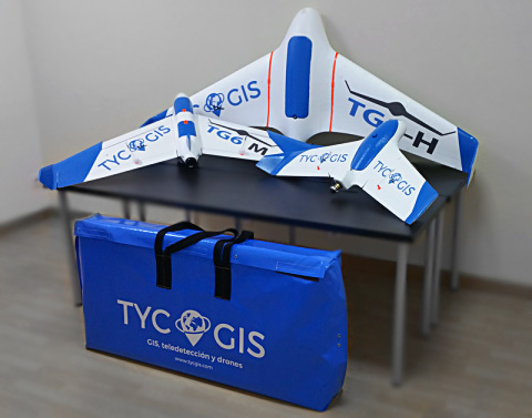
- Drone sales
- Drone sensors and cameras sales
We offer consulting services and studies of topography, remote sensing and mapping with drones. Sale of equipment, training and data processing software.
Drone Topography Surveying Services
We provide topography and mapping services with drones for engineering, architecture and environmental companies. Our pilots have official certificates, liability insurance and flight operator. We have multirotor and wing equipment with accuracies up to 3 cm and productions up to 1000 ha per day. We work nationally and internationally.
Precision agriculture services with drones
We carry out remote sensing studies with drones applied to precision agriculture. Early detection, selective collection, topography for irrigation, fertilizer optimization and a long etcetera.
Our multidisciplinary team with presence in Europe and America allows us to offer a serious service adapted to the real needs of the customer.

Drone sales
We have a catalog of drones for sale designed or modified by us. The equipment we offer are tested, have warranty and support fully in Spanish.
Ask about our comprehensive consulting service of equipment + treatment and flight program + training. Perfect for companies or professionals with little experience.

Drone sensors and cameras sales
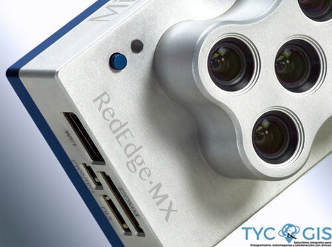
We are suppliers of multispectral cameras for drones. We offer personalized advice to each customer to recommend the best sensor for their needs.
We also implement your sensors in your drone equipment.
Available cameras: Micasense RED EDGE and Parrot SEQUOIA
