REMOTE SENSING
- Topography, cartography and orthoimaging
- Remote sensing applied to geology, mining and hydrogeology
- Remote sensing applied to agriculture
- Remote sensing applied to water studies
- Remote sensing applied to forestry environments
- Remote sensing applied to the environment
- Remote sensing applied to engineering and land use planning
Drone and satellite-based remote sensing solutions for engineering, agriculture, forestry, environment, water resource management, planning and geology/mining.
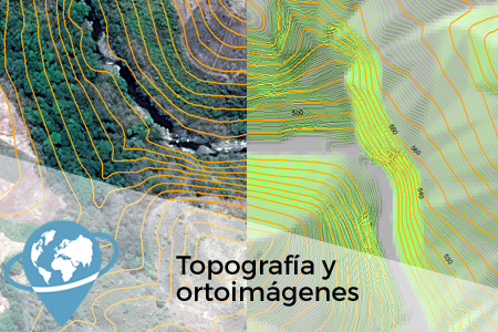
Topography, cartography and orthoimaging
We generate topography and digital elevation models from photogrammetry techniques, RADAR and LiDAR sensors.
We apply data obtained by drones or satellites for the generation of cartography at different scales/precisions, as well as for the creation of orthorectified aerial images.
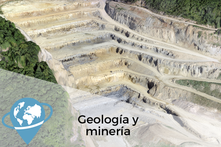
Remote sensing applied to geology, mining and hydrogeology
We use multispectral and hyperspectral images obtained from satellites and drones to generate geological mapping and carry out mineral exploration studies. The use of thermal sensors makes it possible to locate thermal anomalies and hydrothermal deposits.
In addition, obtaining digital terrain models (DTM) using satellite images makes it possible to generate topography of any point on the planet remotely.
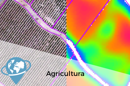
Remote sensing applied to agriculture
Using satellite data we provide solutions at regional scale for territorial planning such as crop quantification, estimation of water demand for irrigation or estimation of crop damage due to atmospheric phenomena such as frost or drought.
At a local scale, using very high resolution satellite and drone images, we apply remote sensing in precision agriculture works for farm management advice, variable ratio applications (seeds, fertilizers, pesticides), selective harvesting or early detection of pests.
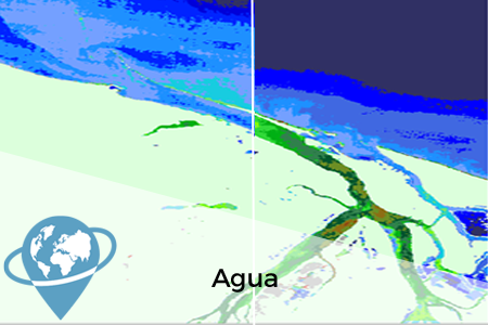
Remote sensing applied to water studies
We apply the different sources of remote sensing data in the management of water resources, both directly on surface water, to analyze its quality, its availability, or the area affected by floods, and indirectly to estimate, for example, groundwater withdrawals.
We also apply satellite and drone images to carry out studies of coastal water quality and coastal sediment dynamics.
Remote sensing applied to forestry environments
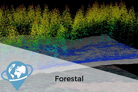
The use of different data sources such as satellite and drone images or LiDARs allows us to carry out forest mass classification studies or to monitor the evolution of forest masses or pests.
We map the area affected by fires and, thanks to the use of thermal sensors, we can determine the presence of latent outbreaks.
Remote sensing applied to the environment
Remote sensors, both on drones and satellites, are a powerful tool for the development of environmental indicators, the study of natural resources, the management of protected natural areas or the analysis of natural risks.
The combination of different multispectral, hyperspectral and thermal sensors mounted on space platforms (satellites) and aerial platforms (drones) make it possible to analyze the environment from multiple scales and perspectives.
Remote sensing applied to engineering and land use planning
We have extensive experience in the application of remote sensing as a tool for the mapping of land use in the territory and the study of its evolution over time, urban planning, monitoring of public works projects or control of territorial changes.
We use remote sensing as a source of information for the detection of unauthorized activities or the identification of illegal constructions.
SOME PROJECTS COMPLETED
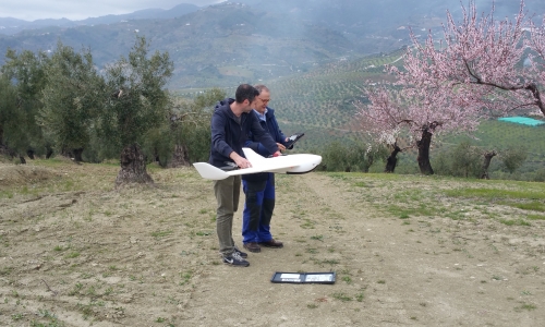
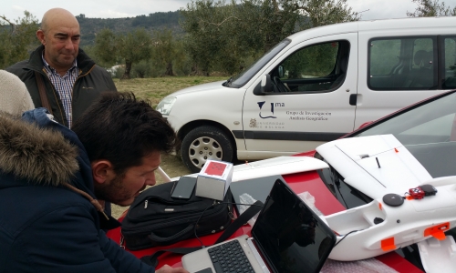
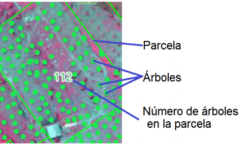
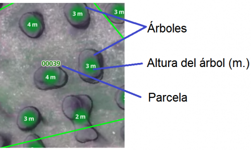
The general objective of the study is to analyze with remote sensing techniques an olive grove area in the municipality of Alozaina (Málaga) in order to develop indices and products for the early detection of phytosanitary problems, soil loss problems as well as to detect differences in productivity according to the type of management between plots.
Some results:
- NDVI index or vigorousness
- Inventory or tree count
- Height calculation
- Topography, relief and slopes
- Erosion risk / Soil loss
- Contrast and monitoring with satellite data
The general objective of the study is to use remote sensing techniques to analyze a golf course in order to develop indexes and products for the early detection of phytosanitary problems, waterlogging and irrigation optimization.
Some results:
- General condition of the turf
- Detailed condition of the green’s turf
- Waterlogging/moisture
- Topography, relief and slopes
- 3D model
- Detailed analysis of directions and orientations on Green

 (20 votos, promedio: 4.60 de 5)