Projects TYC GIS® | Agricultural survey with satellite, orthophoto and drone imagery
Remote sensing images (obtained through satellites, planes or drones) can be of great interest for the execution of certain agricultural [...]
Remote sensing images (obtained through satellites, planes or drones) can be of great interest for the execution of certain agricultural [...]
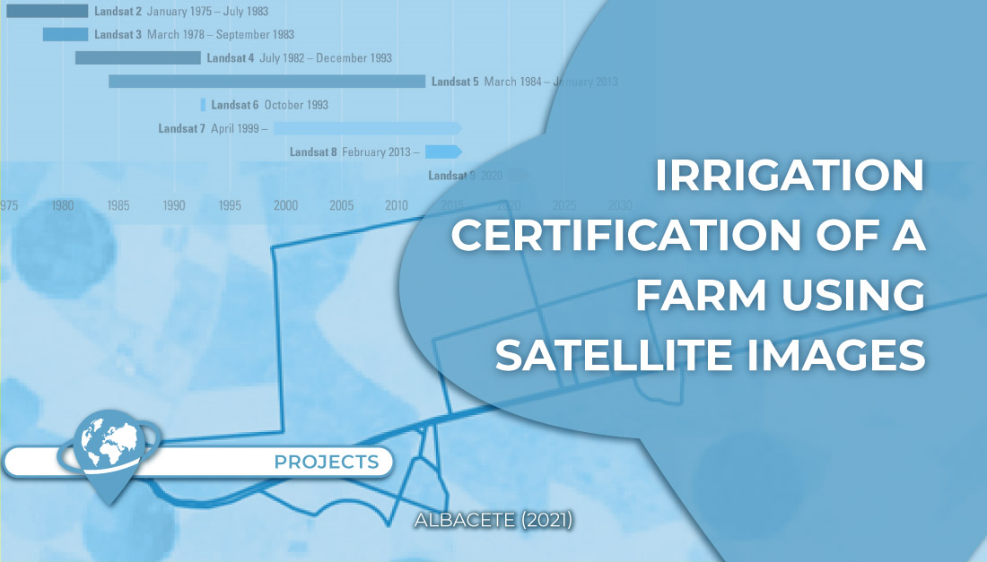
The objective of this project was to analyze the existence of any irrigated crop prior to 1997 in order to [...]
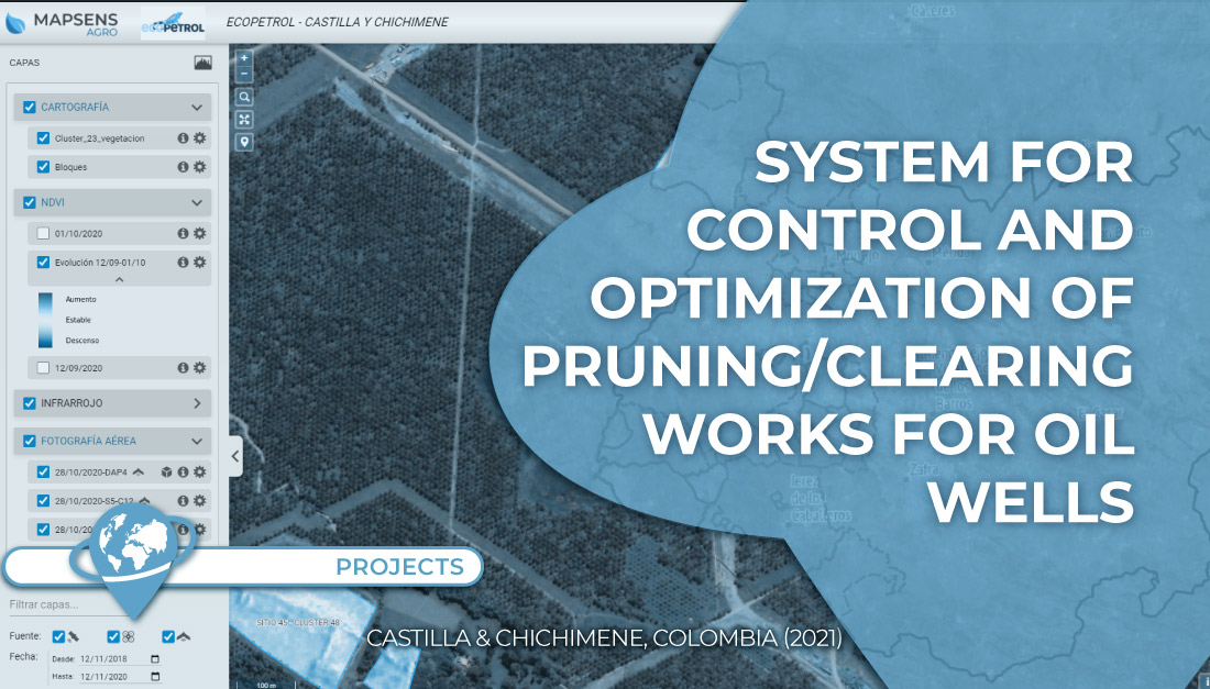
In this project TYC GIS worked on the development of a system to control and optimize the pruning/clearing of 135 [...]