Projects TYC GIS® | Agricultural survey with satellite, orthophoto and drone imagery
Remote sensing images (obtained through satellites, planes or drones) can be of great interest for the execution of certain agricultural [...]
Remote sensing images (obtained through satellites, planes or drones) can be of great interest for the execution of certain agricultural [...]
At TYC GIS we have worked the last months in a agroforestry CO2 […]
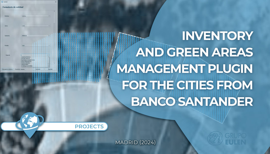
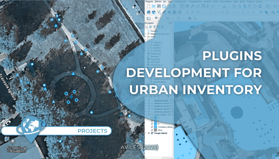
In the same line as the urban inventory management plugins previously developed for the city hall of Pozuelo de Alarcón [...]
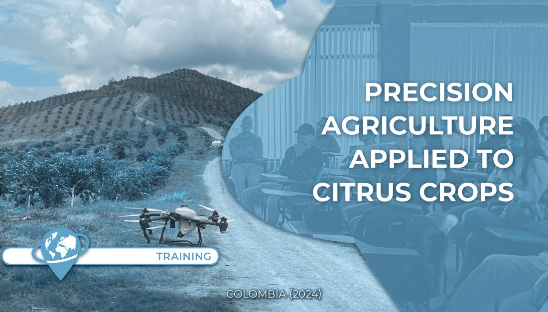
Location: Roldanillo Valle del Cauca (Colombia) Establishment: Instituto de Educación Técnica Profesional Training: Agricultural Administrators, Precision Agriculture Seminar Objective: Show [...]
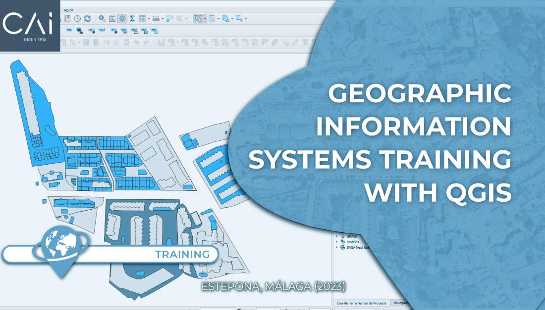
Course: Geographic Information Systems with QGIS Mode: On-site. Location: Estepona (Málaga). Course objective: Get in touch with the QGIS platform [...]
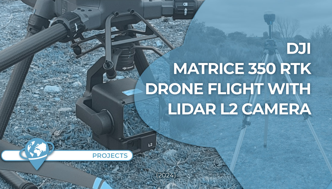
In TYC GIS we just acquired the new Matrice 350 RTK drone of DJI with a LIDAR L2 sensor [...]
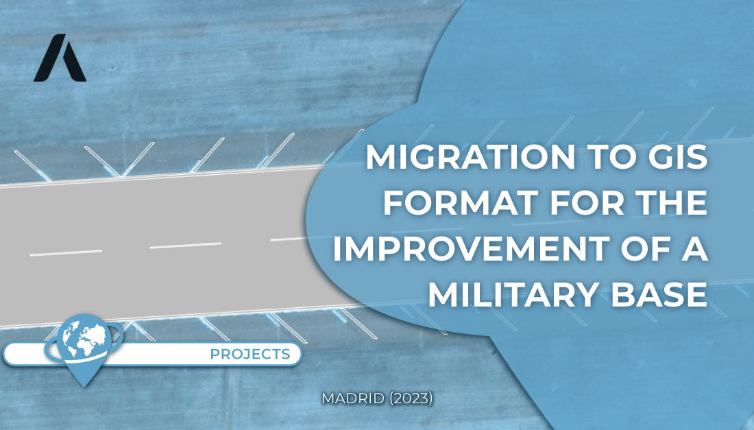
In this project, work was done on the migration of the elements of the military base in CAD format to [...]
Some weeks ago, we talked about a project carried out for EULEN of a QGIS plugin for urban inventory management. [...]
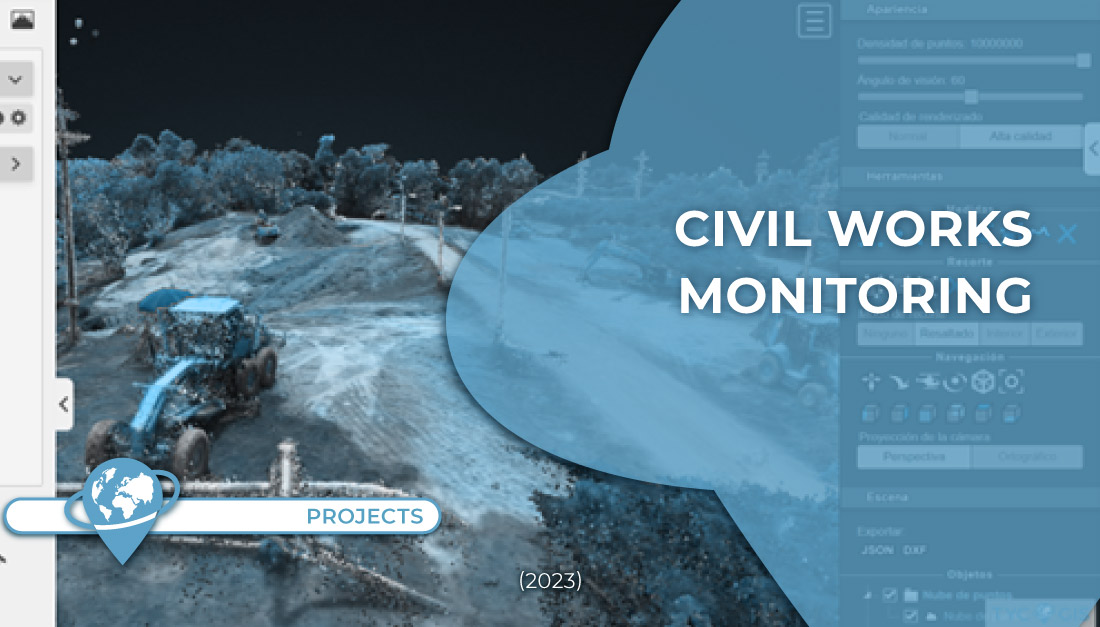
● Location: Santander department(Colombia) ● Surface area: 4 hectares ● Data source: Drone ● Main objective: Identify works and follow [...]
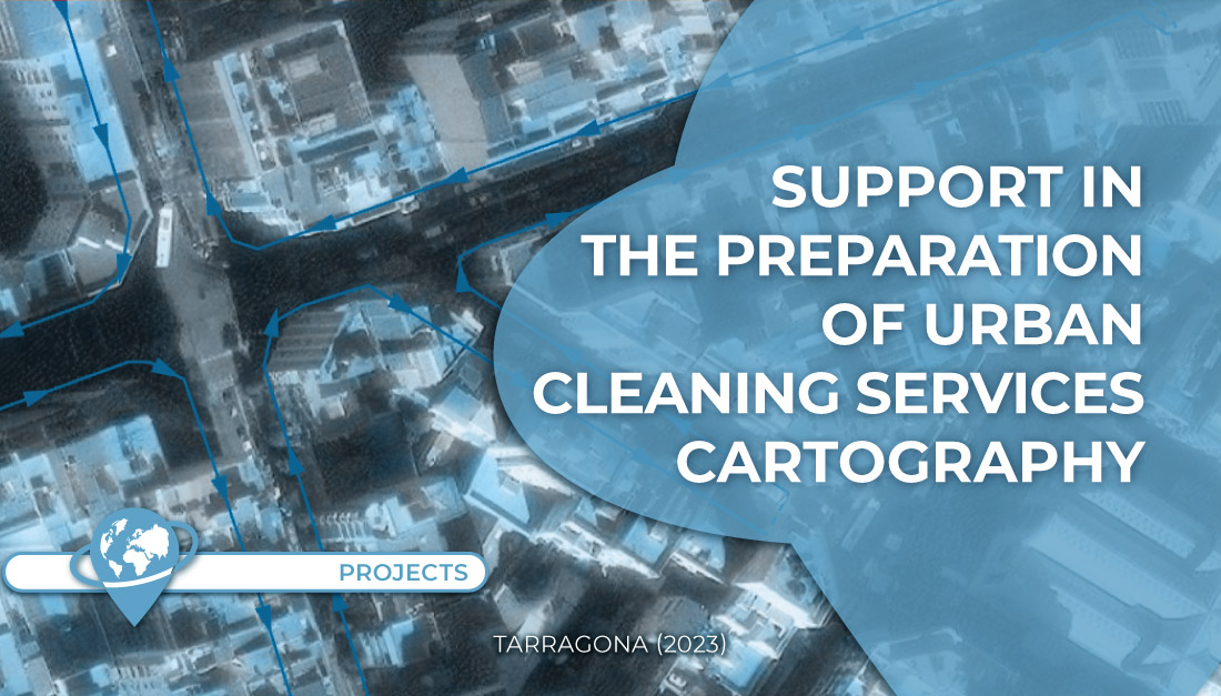
Work was carried out to support the cartographic generation and mapping of routes in the bid for the urban cleaning [...]