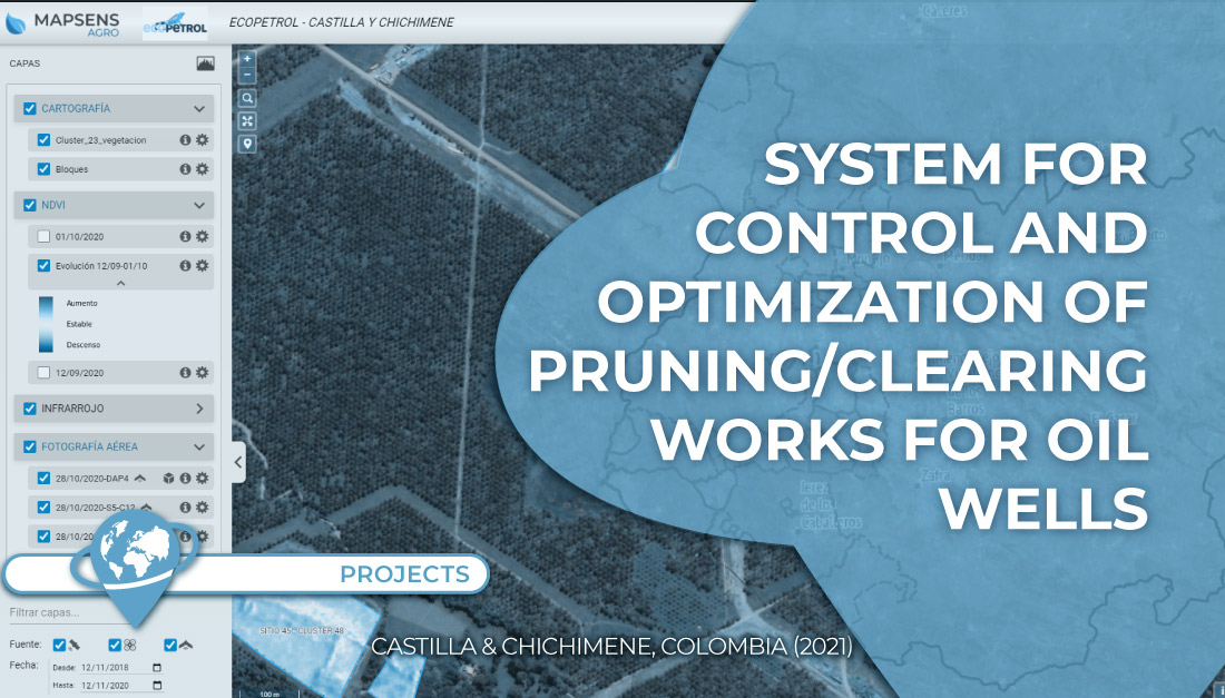
In this project TYC GIS worked on the development of a system to control and optimize the pruning/clearing of 135 oil wells in the Castilla and Chichimene fields (Colombia) with Mapsens® Agro.
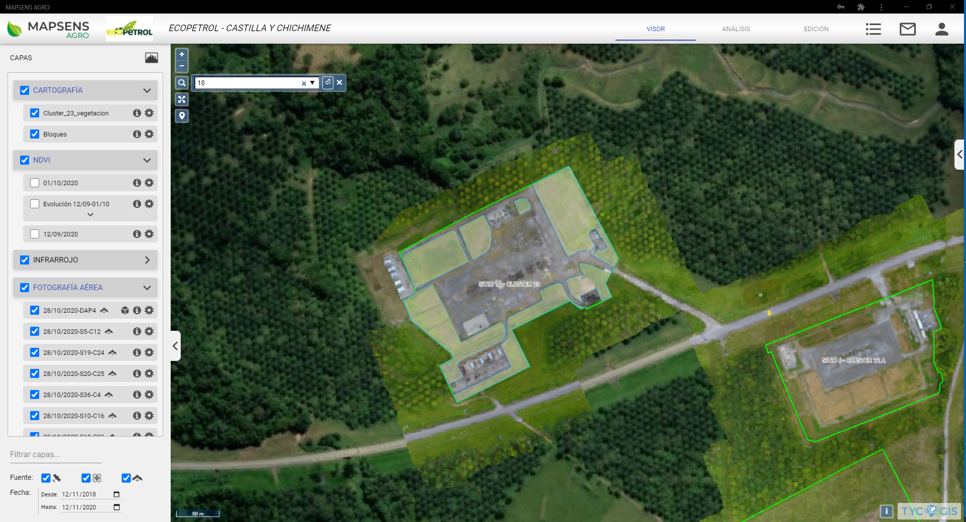
The work began with the generation of detailed orthoimages of the locations and a digitalization of the vegetated and built-up areas. From this point on, these areas have been analyzed monthly with multispectral satellites. Monthly measurements have also been taken to relate vegetation height/development with the photosynthetic activity value to generate a predictive model to help plan maintenance works.
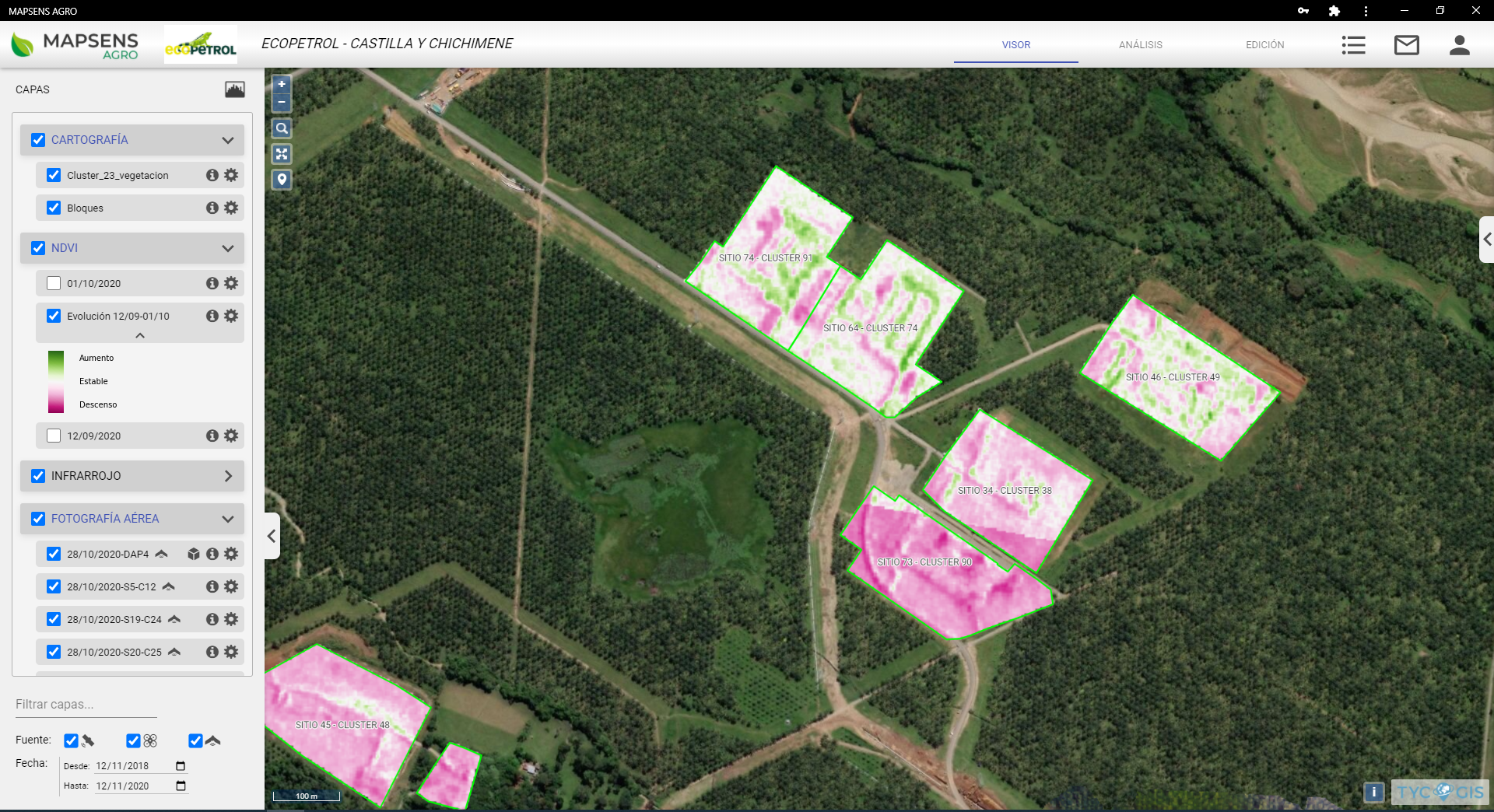
All this information is loaded into Mapsens® Agro for consultation. To improve its analysis, specific functionalities have been developed: a well finder/locator, pruning indexes (growth, clearing and stable), vegetation height estimation function, and a summary table of the general status of each well with areas worked, evolution, etc.
Customer:

 (1 votos, promedio: 5.00 de 5)
![]() Loading...
Loading...


Leave A Comment