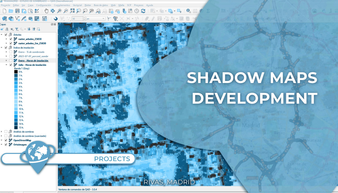
Project | Shadow maps to improve working conditions on the streets
It is no secret that Spain is, to a large extent, a place that enjoys long summers and many hours [...]

It is no secret that Spain is, to a large extent, a place that enjoys long summers and many hours [...]
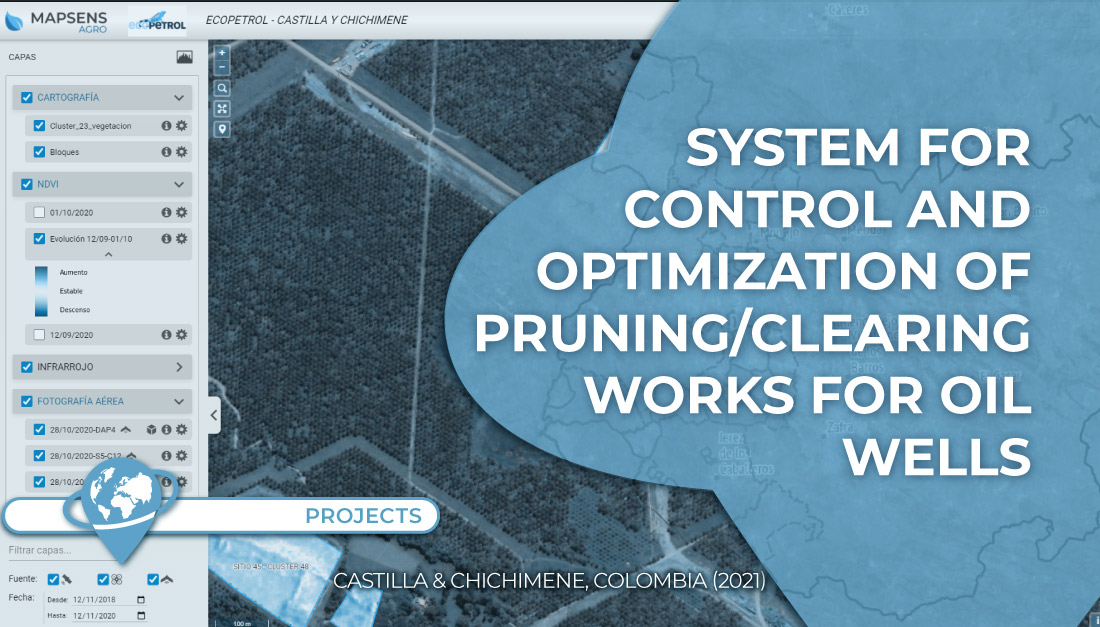
In this project TYC GIS worked on the development of a system to control and optimize the pruning/clearing of 135 [...]
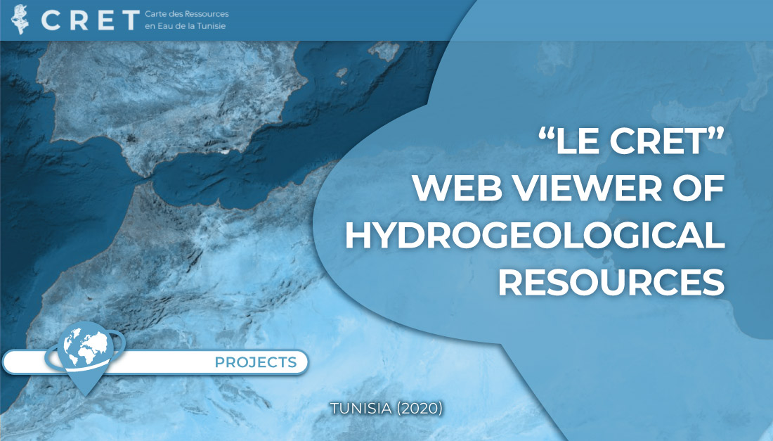
In this project TYC GIS worked on the development of a web viewer to visualize environmental data collected in a [...]