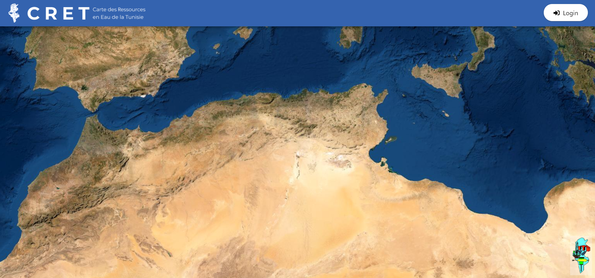
In this project TYC GIS worked on the development of a web viewer to visualize environmental data collected in a hydrogeological project of the Tunisian Ministry of Geology.
Areas such as geology, hydrology, precipitation, temperatures, groundwater, surveys or historical works are covered. Outside the database, rasters are stored and are also visualized by the application. The web allows opening PDF files and images associated with the records. Interactive elements were added to the map (entity query, selectable graphic scale, label creation, etc.) as well as customized query tools. The application has the ability to generate printed PDF maps from what the user is viewing, including active layers and legends.
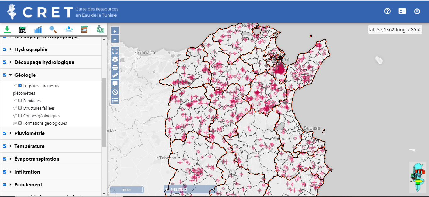
The application has a user authentication system that protects all content. The accessible content depends on the user’s privileges over each thematic category. For those with an administrator role, a control panel has been enabled that allows users to consult, create, edit and delete users, as well as to have access to the application’s log history (who has done what operation and when).
Customer:


 (2 votos, promedio: 5.00 de 5)
![]() Loading...
Loading...
Leave A Comment