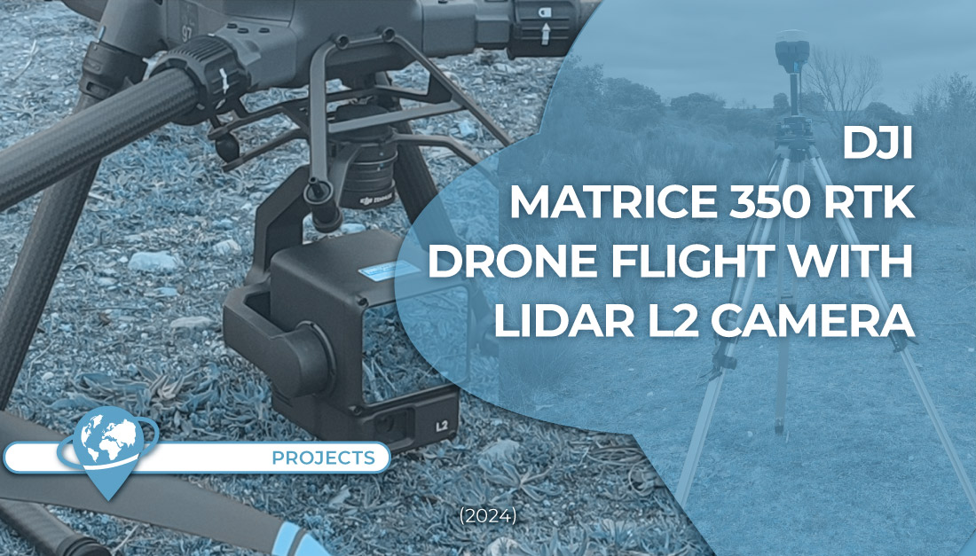
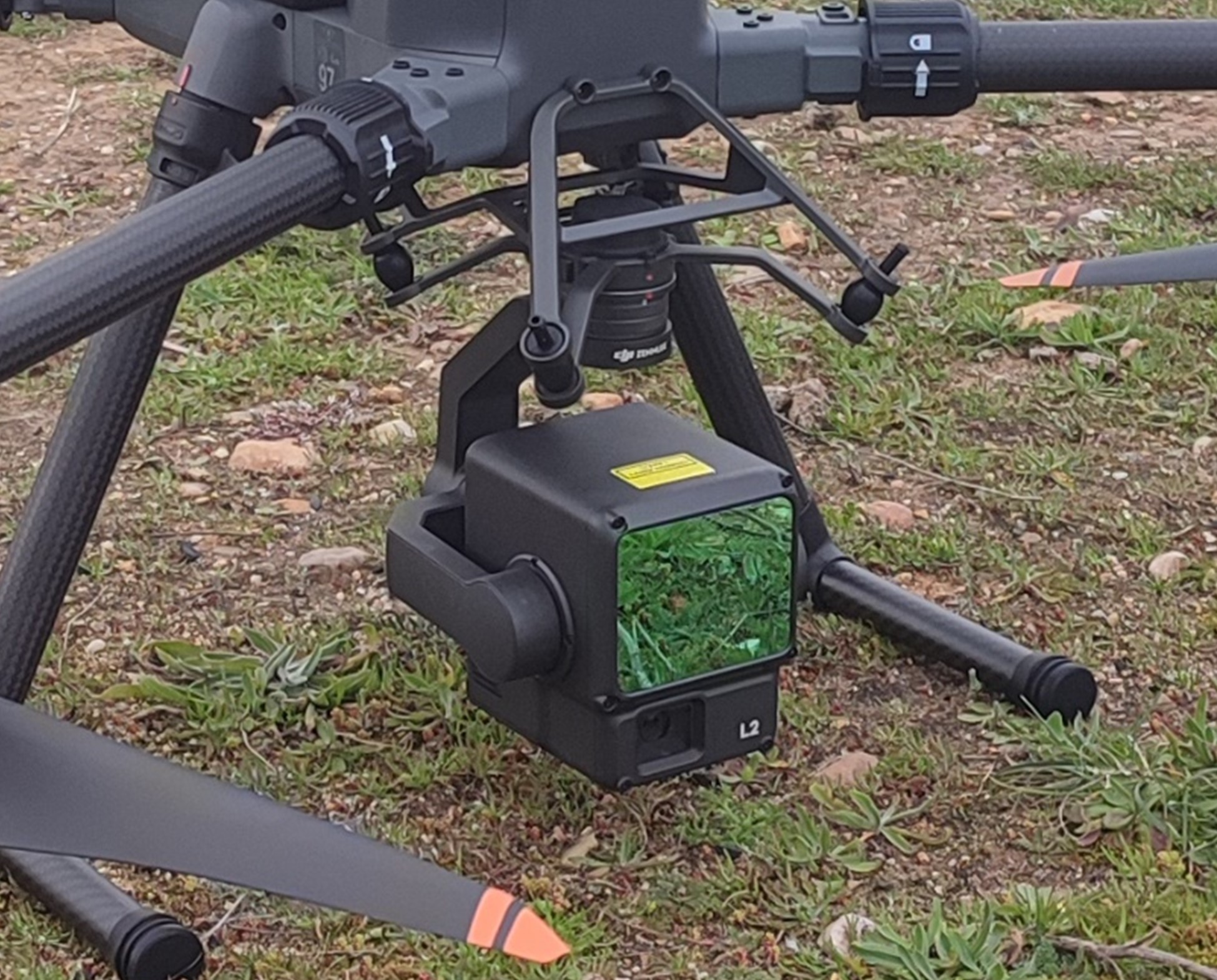
In TYC GIS we just acquired the new Matrice 350 RTK drone of DJI with a LIDAR L2 sensor to use it in our forestry, civil works and infrastructure monitoring and inspection projects.
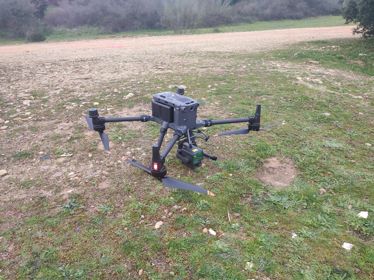
For the first test flight, we flew over a holm oak forest with the objective of generating a LiDAR point cloud and analyze how much precision the L2 sensor can achieve.
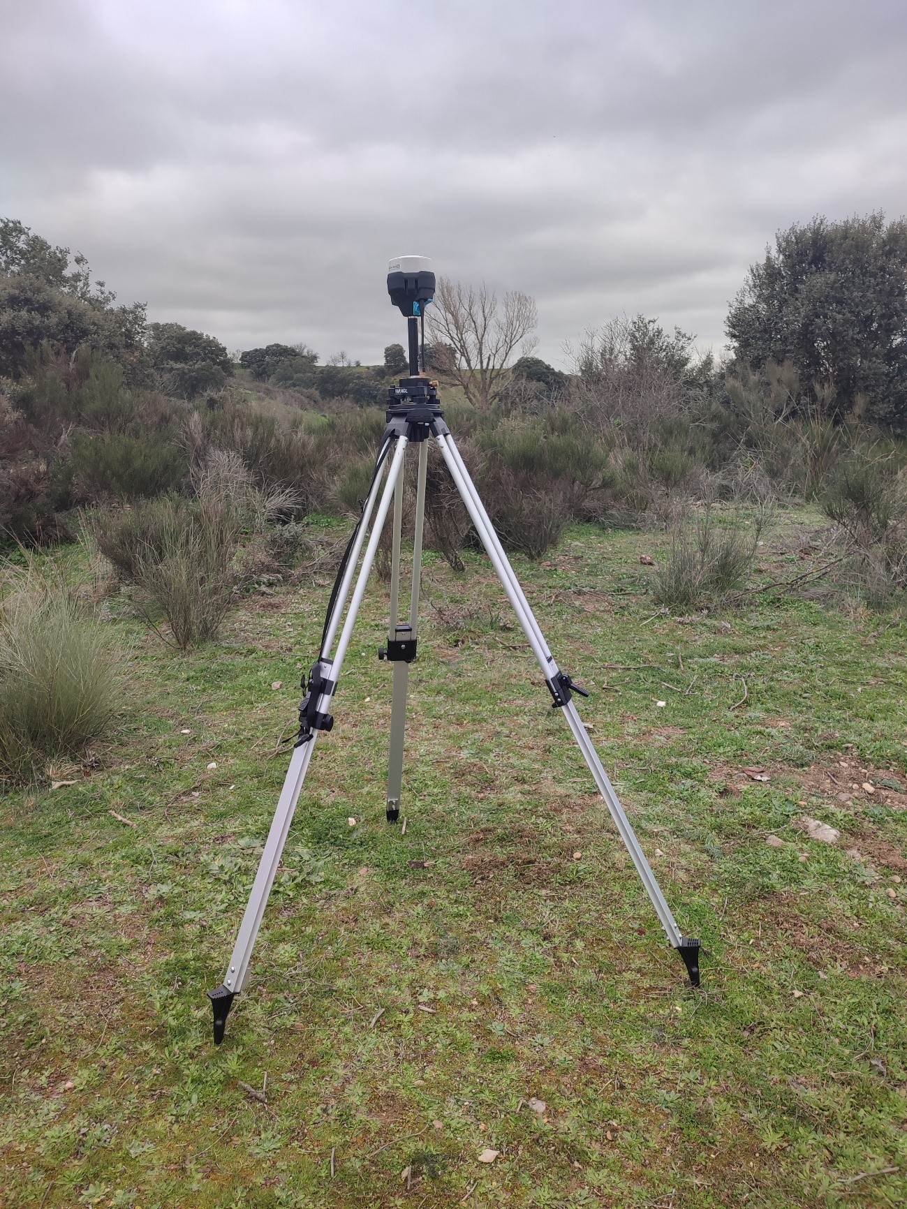
Before the flight, control points were taken (GCPs) with two GPS EMLID Reach RTK RS2+ units. One of them was configured as the base and the other one as “rover” for the position capture of the targets on the ground.
The results were very satisfactory, and we wait with enthusiasm to put it into practice on our forestry and infraestructure projects.
Contact us here TYC GIS if you need help with similar projects.
 (1 votos, promedio: 5.00 de 5)
![]() Loading...
Loading...


Leave A Comment