DJI Matrice 350 RTK with LIDAR L2
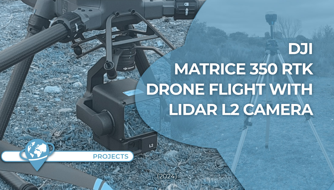
In TYC GIS we just acquired the new Matrice 350 RTK drone of DJI with a LIDAR L2 sensor [...]
In TYC GIS we just acquired the new Matrice 350 RTK drone of DJI with a LIDAR L2 sensor [...]
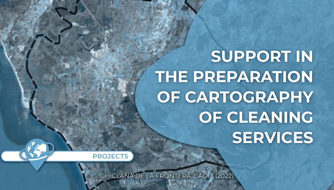
Support was provided in the generation of cartography, review of data collection and layout of routes in the offer for [...]
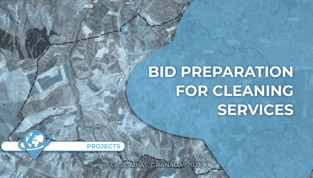
Support was provided in the cartographic generation and routing of the urban cleaning service in the municipality of Las Gabias [...]
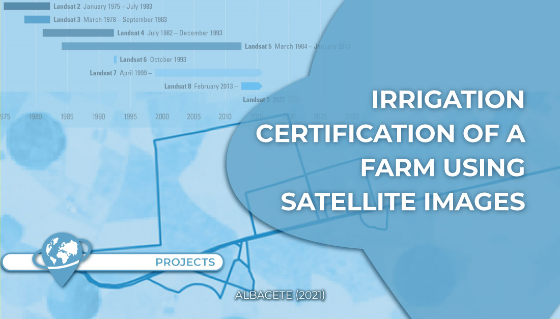
The objective of this project was to analyze the existence of any irrigated crop prior to 1997 in order to [...]
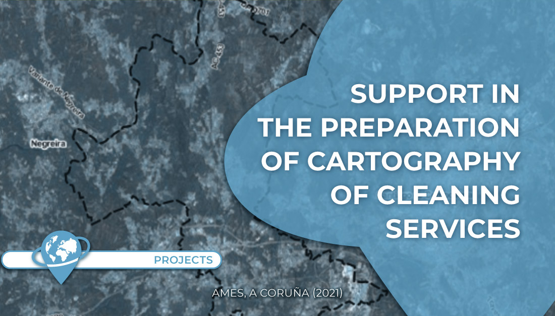
Support was provided in the cartographic generation and routing of the urban cleaning service in the municipality of Ames (La [...]
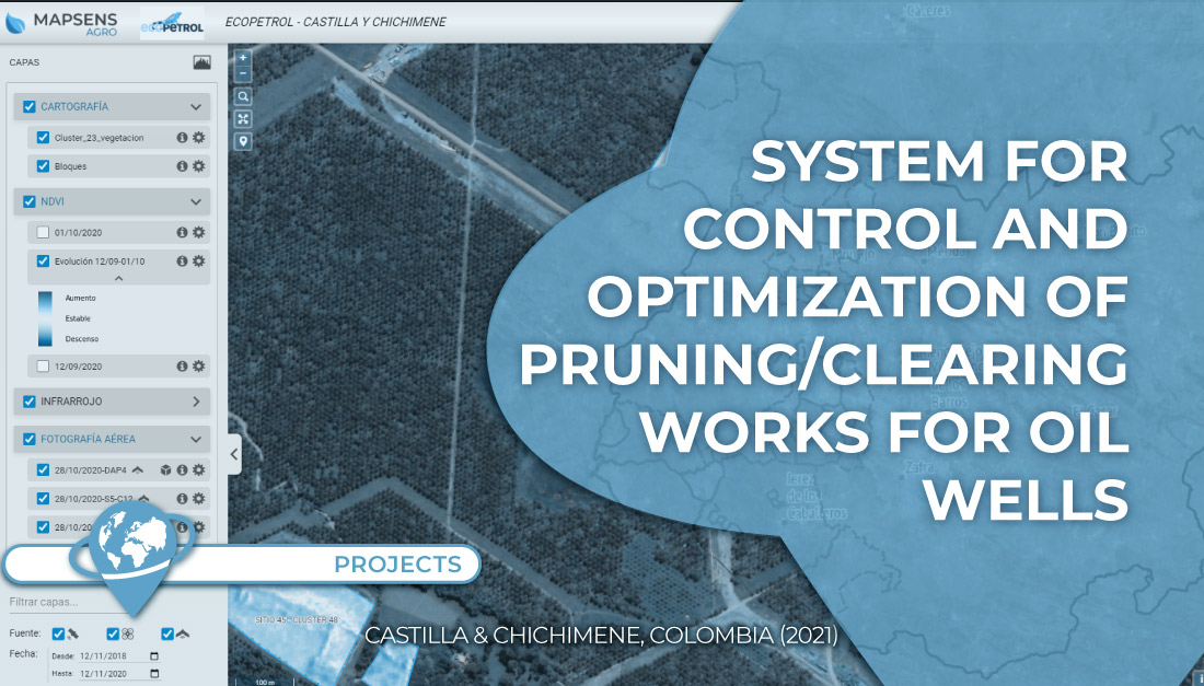
In this project TYC GIS worked on the development of a system to control and optimize the pruning/clearing of 135 [...]
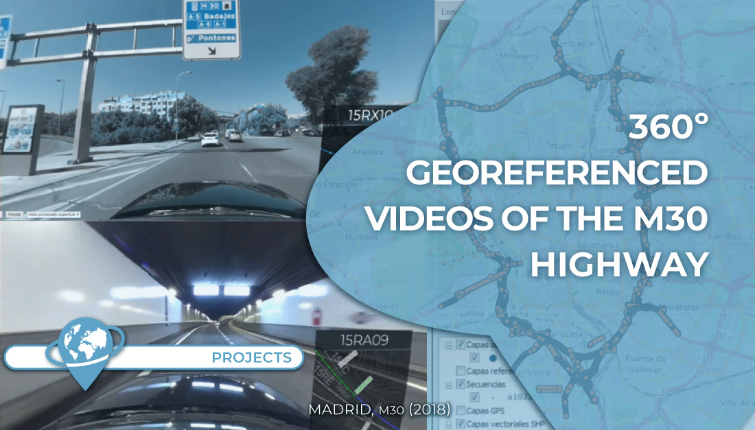
360º georeferenced video recording of all sections of the Madrid ring road (M30 highway) for its maintenance and conservation. [...]
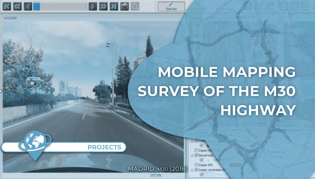
Data collection and implementation of mobile mapping technology for the management and maintenance M-30 highway (ring road of the city [...]