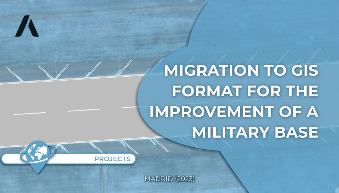
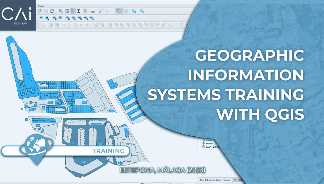
In this project, work was done on the migration of the elements of the military base in CAD format to GIS format (infrastructures, land use, parcels, roads, etc.), and its associated database.
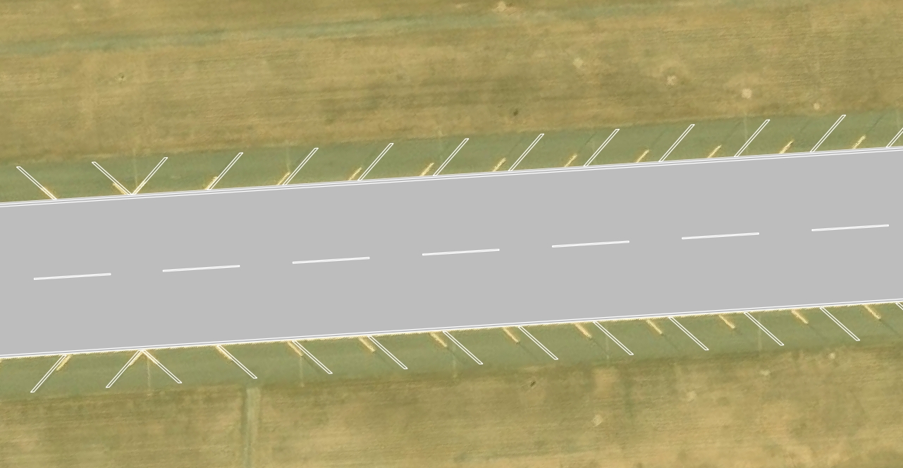
The organization of information applying GIS is an improvement over storage in CAD format, considering the capacity that these GIS systems provide for the integration of geospatial data, allowing for more advanced spatial analysis, within the framework of spatial database management.

If you need help with a similar project, please contact us here TYC GIS.
 (1 votos, promedio: 5.00 de 5)
![]() Loading...
Loading...


Leave A Comment