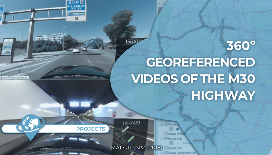
360º georeferenced video recording of all sections of the Madrid ring road (M30 highway) for its maintenance and conservation.
The project includes the shooting with 360º cameras and GPS in vehicles, information processing, video editing and enrichment with dynamic positioning data. In total, more than 55 hours of footage were recorded in about 300 sections.
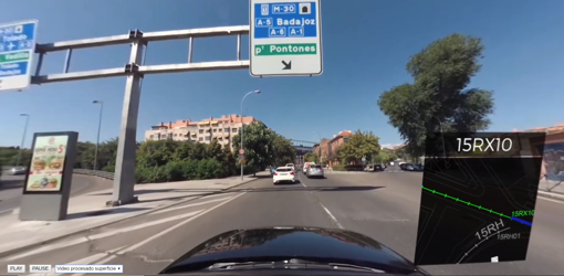
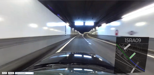
360º videos with positioning data are useful for the review and maintenance of any road infrastructure. If they also have positioning data, they allow to locate with greater precision the possible anomalies or points of improvement detected.
These recordings are also a widely used tool for security audits.
Project phases:
- Planning and preparation of the vehicle for data collection.
- Recording of geo-referenced 360º videos.
- Processing and editing of the information. Enrichment with positioning and mapping data.
- Orderly delivery of all the videos sorted by sections.
Interactive sample of some tests performed during the planning phase.
Scope: All overhead sections and tunnels of the M-30 highway (Madrid city ring road, Spain), including several sections of other roads included in its maintenance contract.
Technology: High-definition 360º video recording cameras with GPS. Processing with Geographic Information Systems and video editing software.
Customer: EMESA.
Know more:
- Web de EMESA – www.emesa-m30.es: Así funciona la tecnología Mobile Mapping

