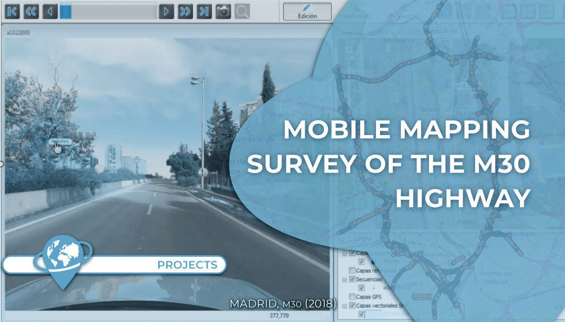
Data collection and implementation of mobile mapping technology for the management and maintenance M-30 highway (ring road of the city of Madrid, Spain).
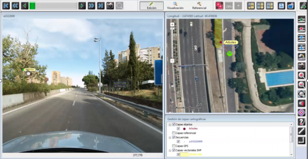
The project includes the realization of Mobile Mapping shots implanted in a vehicle. Once the data is collected, it is processed, stored and made available for use by the maintenance team using specialized software.
In addition, to facilitate the work of the technicians, a specific data model has been developed to assist in the inventory, data completion and measurement tasks.
Project phases:
- Preparation of the vehicle for data collection.
- Data acquisition.
- Data processing and LRS (Linear Referencing System).
- Design of the data model and implementation of the data exploitation system at the customer’s site.
- Training and license support.
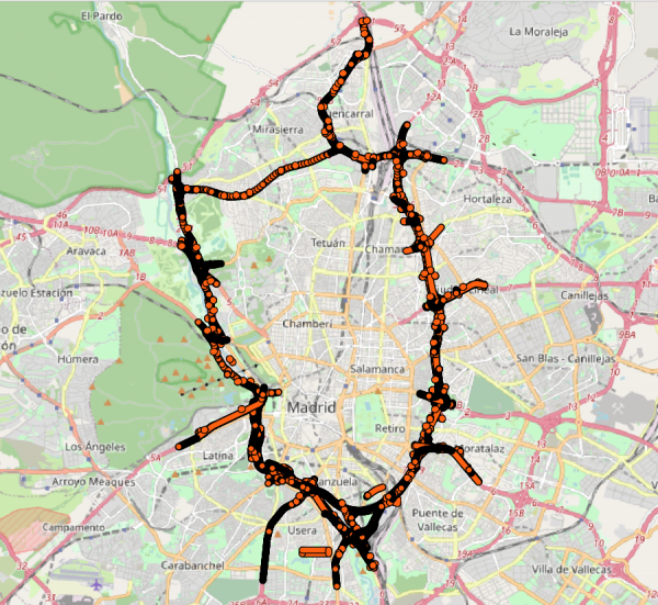
Scope: All overhead sections of the M-30 highway (Madrid city ring road, Spain), including several sections of other roads that are included in its maintenance contract.
Technology: Photogrammetric mobile mapping.
Customer: EMESA.
Empresa de Mantenimiento de la M-30
Know more:
- Web of EMESA – www.emesa-m30.es: Así funciona la tecnología Mobile Mapping


