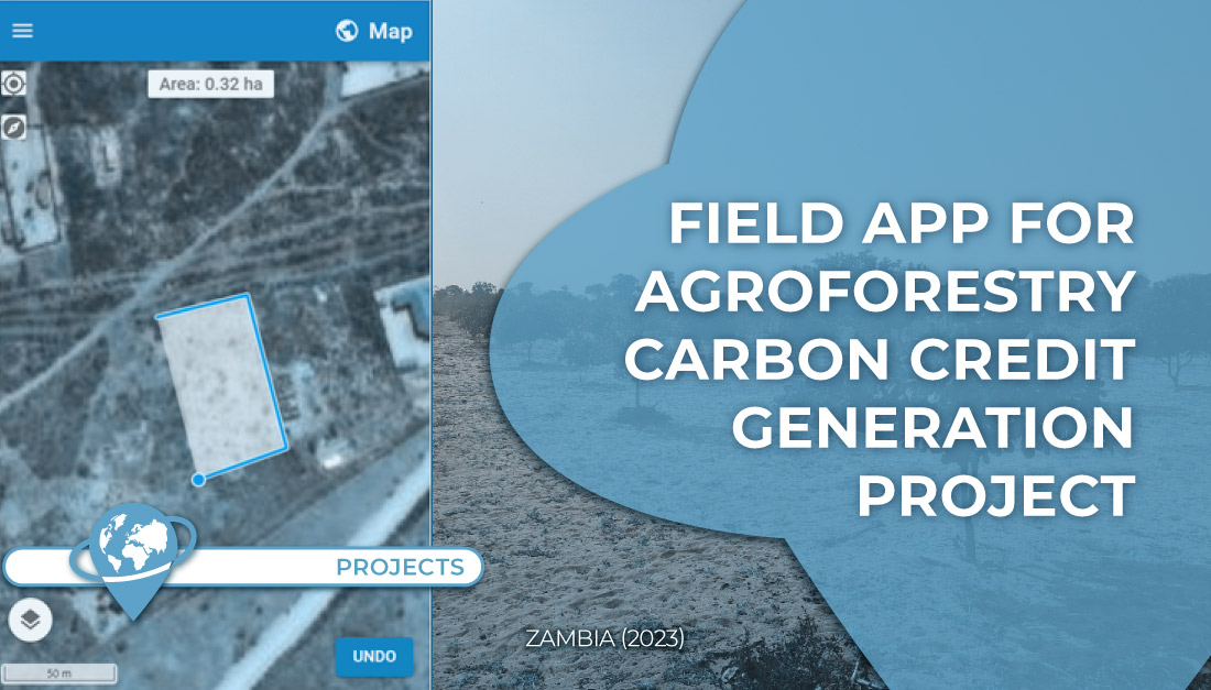
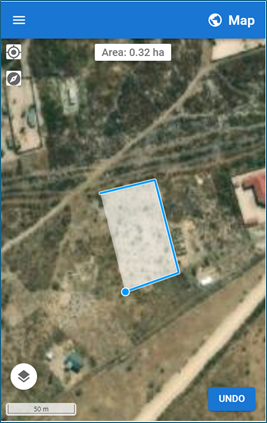
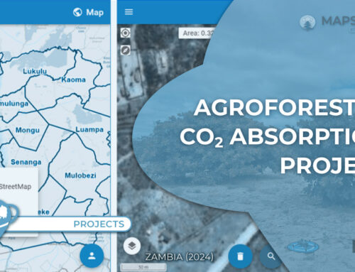
TYC GIS has developed for an international agribusiness company with a large presence in Africa,
a customized mobile application for field digitization of the plots of an agroforestry plantation project in Zambia for the generation of carbon credits.
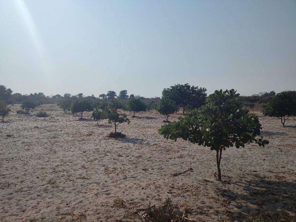
This tool allows field technicians, from a mobile device, to identify in the database the farmers who have participated in the planting project, locate the field location, digitize the plot boundaries and add relevant field observations for the next phases of the project.
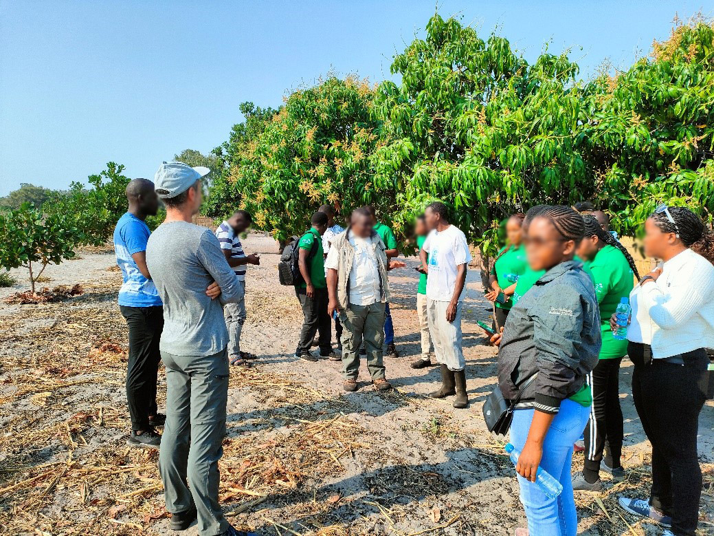
Prior to its use by the field technicians, training was conducted in the field for the correct use of the different functionalities of the application.
 (4 votos, promedio: 5.00 de 5)
![]() Loading...
Loading...

Leave A Comment