● Property: La Venta
● Location: Valle del Cauca department (Colombia)
● Surface area: 231 hectares
● Data source: Drone
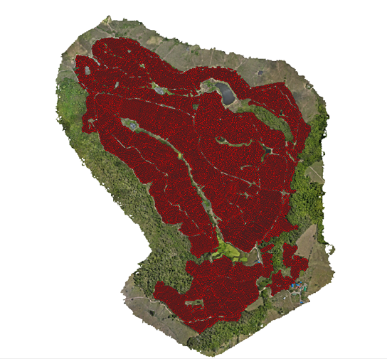
● Main objective: Identify the amount of trees
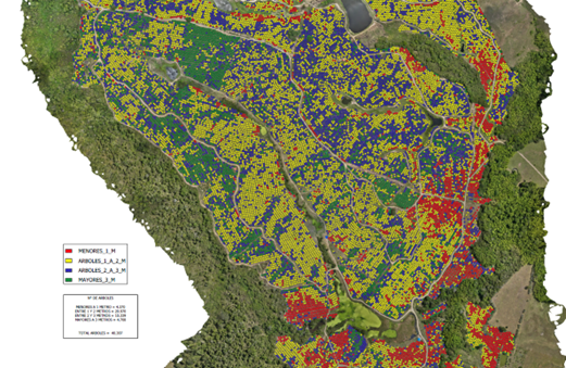
● General objective: Conduct the general inventory of the crop with precise data of the crop condition in terms of number of trees and their heighs.
● Date: November, 2023
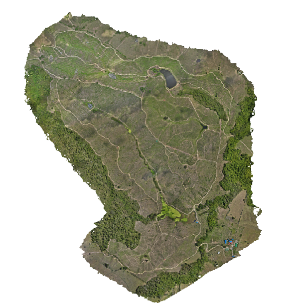
Data collection is performed. Data is then processed and an inventory is generated identifying every tree and their heighs.
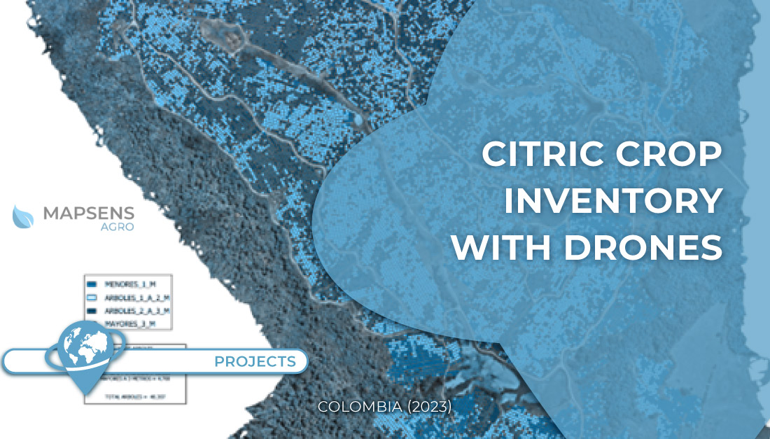
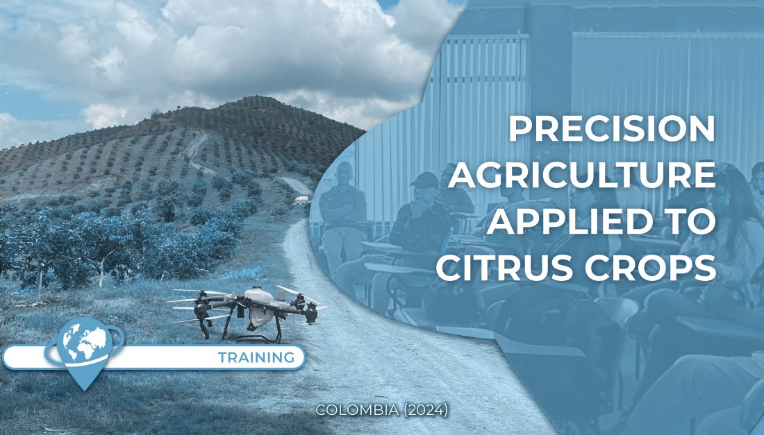
Citric crop inventory is carried out through the use of drone technology, which allows to collect precise data of the condition and health of the plantation. This method revolutionized the way agricultural data is collected and processed, providing a complete and updated view of the citrus field.
If you wish to know more about our SMART AGRO app, contact us here TYC GIS. It uses data from drones, satellites, field sensors and weather.
 (1 votos, promedio: 5.00 de 5)
![]() Loading...
Loading...


Leave A Comment