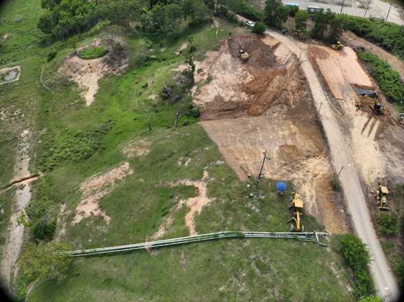
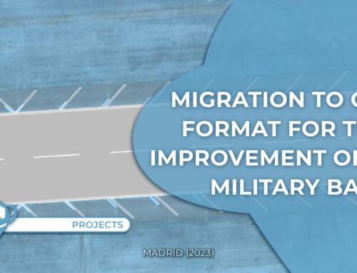
● Location: Santander department(Colombia)
● Surface area: 4 hectares
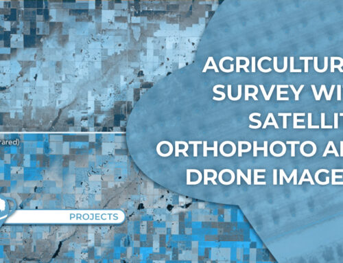
● Data source: Drone
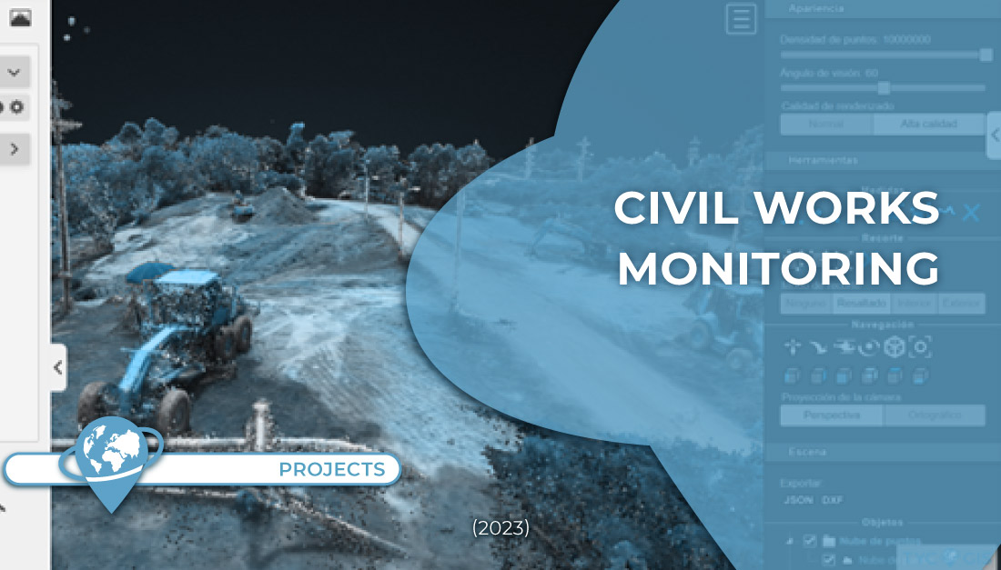
● Main objective: Identify works and follow up on civil works.
● General objective: Perform volume calculation, soil movement and general work monitoring.
● Date: December, 2023
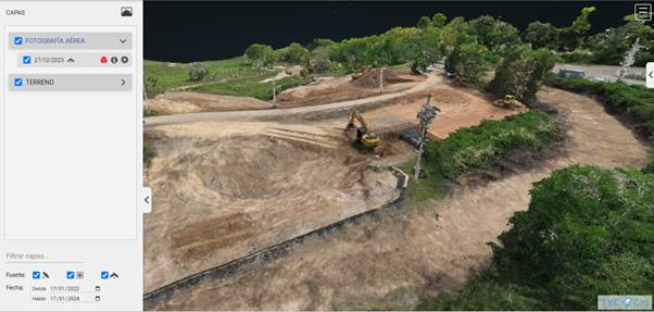
Data is loaded to Mapsens® Civil to analyze collected information.
Data collection for work monitoring is an increasingly common practice on construction industry, thanks to the many benefits that this technology provides.
The results obtained are analyzed to evaluate the work progress, deviations from the original plan and take data driven decisions. This real time information facilitates early identification of problems, eficient resource management and optimisation of the construction process.
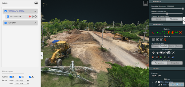
Drone data collection for civil works monitoring offers a detailed and updated perspective, improving precision and efficiency of the construction proyects management.
If you wish to know more about our Mapsens® Civil app, contact us here TYC GIS. Mapsens® Civil is a Web GIS app for the monitoring and inspection of works with drones.
 (1 votos, promedio: 5.00 de 5)
![]() Loading...
Loading...

Leave A Comment