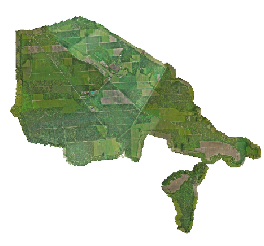
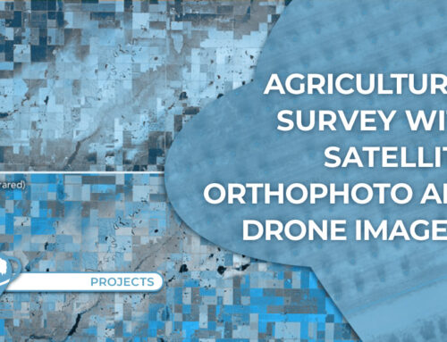
● Location: Meta department (Colombia)
● Surface area: 3000 hectares
● Data source: Drone
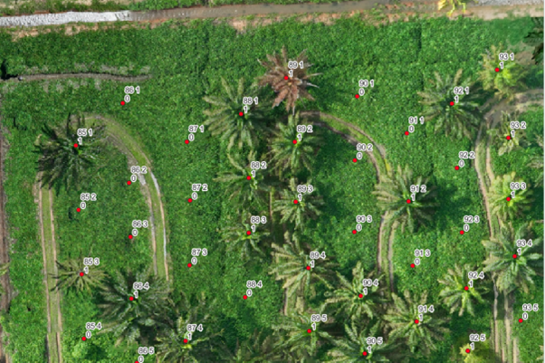
● Main objective: Identify living palms and crop failures.
● General objective: Conduct a general inventory of the crop with precise data on the condition of the crop in terms of number of palms
● Date: December, 2023
Data collection is perfomed, it gets processed and the inventory is generated identifying living palms with a 1 and failures with a 0, indicating the row and numbering order nomenclature given at the time of planting.
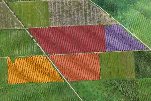
Crop inventory from drone data provides a detailed compilation and valuable information about the condition, health and development of a specific area of the crop. Thin inventory is created from data collected by drones equipped with specialized sensors during planned flights over the areas of interest.
If you wish to know more about our precision agriculture SMART AGRO app, contact us here TYC GIS. SMART AGRO app uses drone, satellite, weather and field sensors data.
 (2 votos, promedio: 5.00 de 5)
![]() Loading...
Loading...

Leave A Comment